Mt. Diablo Maps
Click on any image to see a larger version
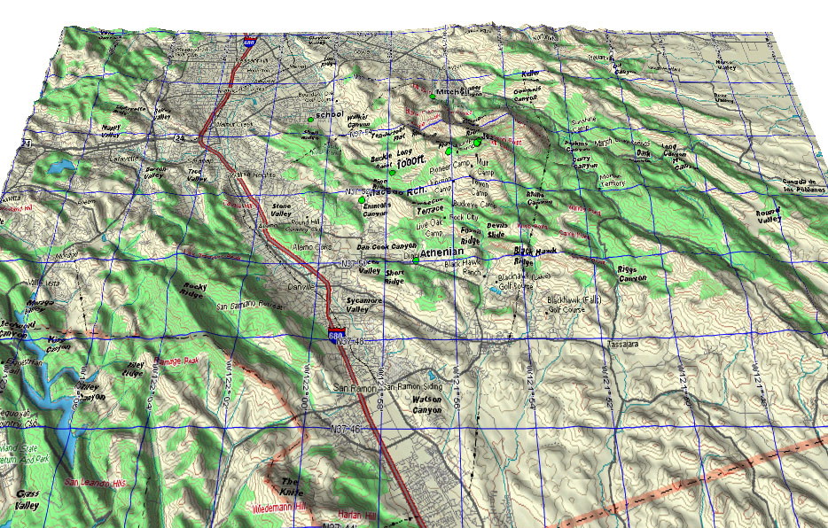
Looking North. Hwy 24 heads W to Berkley, Oakland and San Francisco.
Launches and LZs are marked with green dots.
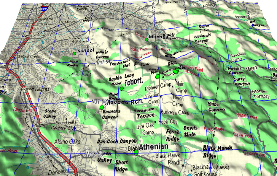
Looking North. Closer in to the mountain.
Launches: SE, W, N, Juniper.
LZs: 1000ft., Mitchell (Canyon), School, Macedo Rch, Athenian (school).
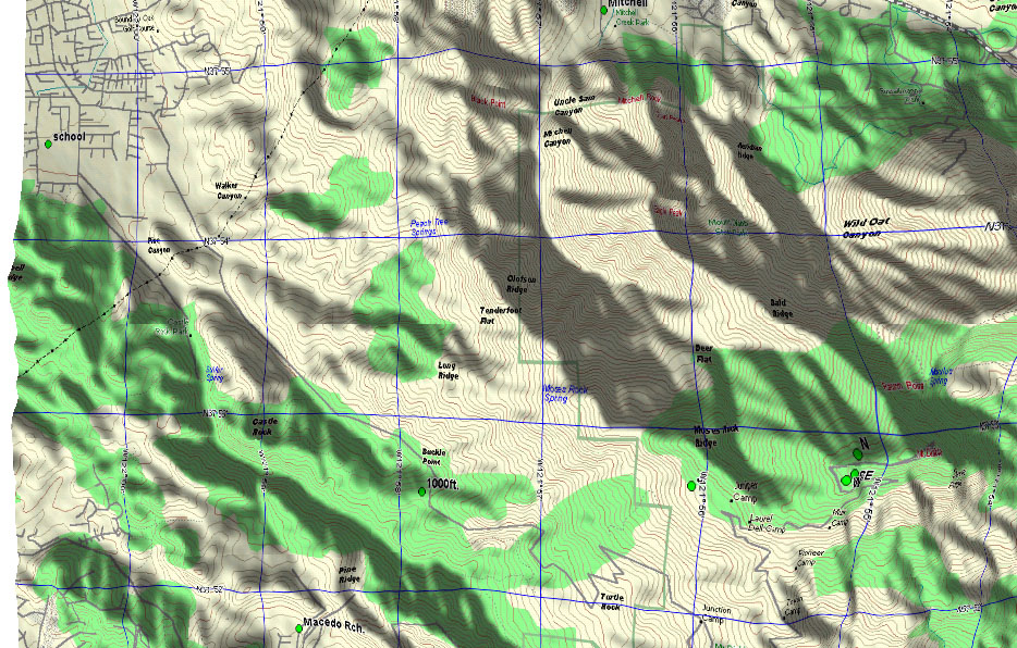
Looking North. Directly over the mountain, looking straight down.
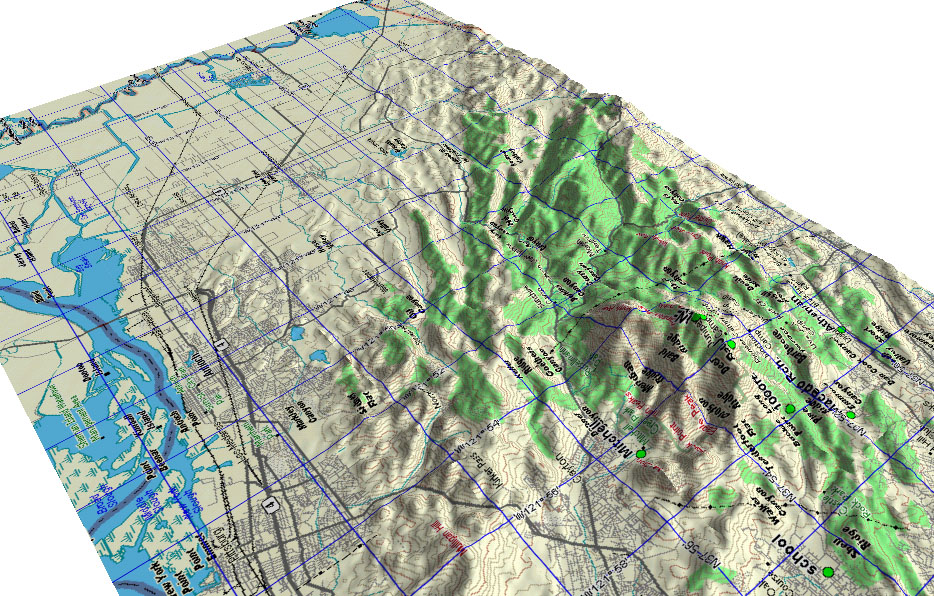
Looking SE. Showing the route to the valley and South.
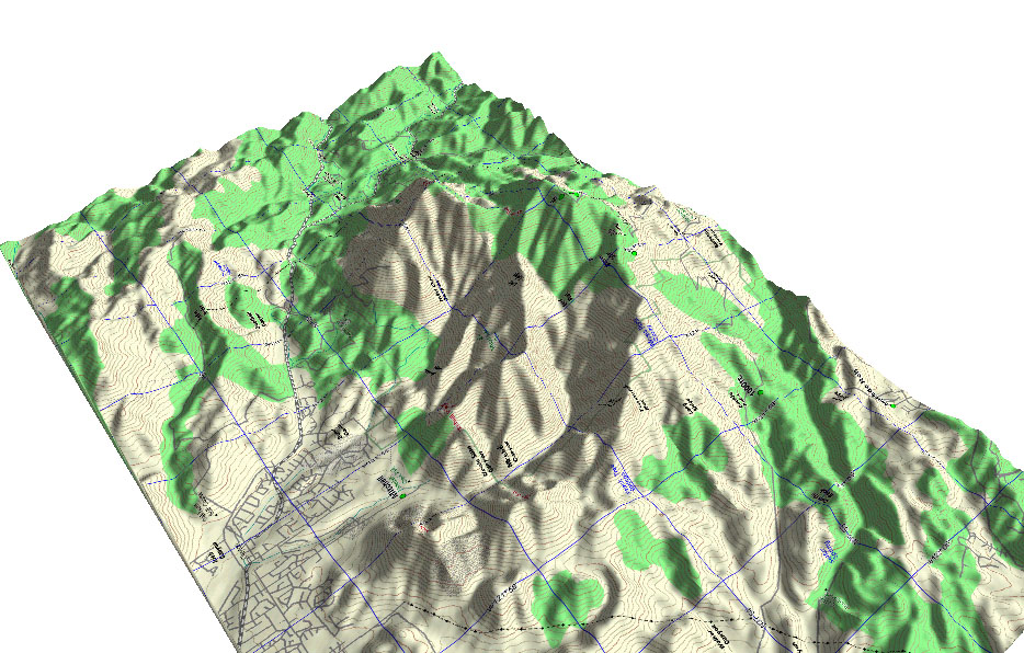
Looking SE. Closer into the mountain. The ridge on the right is Juniper.
The ridge in the middle is Bald Ridge, ending at Eagle Peak and the Mitchell Canyon
LZ.
Looking South. Closer in still. The route from the N T/O to Mitchell
Canyon is visible.
Wings Of Rogallo 1999 XC flights from Diablo.
Diablo Launch is the "N" dot.
XC Flight Details
maps © Delorme, Topo USA 2.0
Please get the permission of any photo's owner before re-publishing.
Please get the permission of any photo's owner before re-publishing.