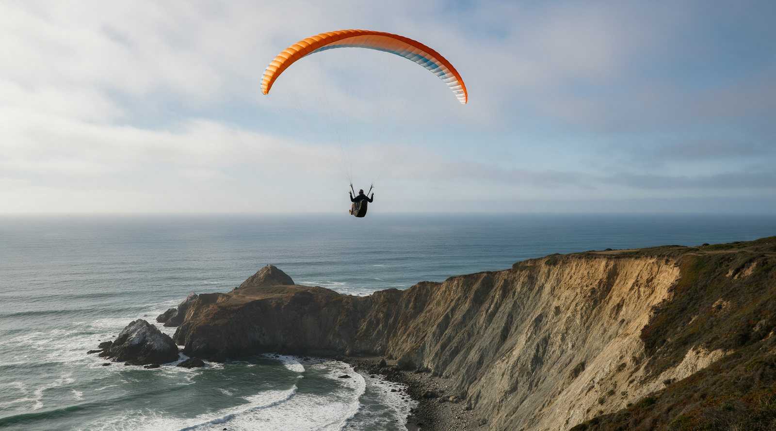
Mussel Rock is the Bay Area’s busiest coastal paragliding site, a row of cliff launches at Mussel Rock Park on the Daly City and Pacifica line. No club issues stickers here, so it is often called an unrated site, but strong wind, blowback and the ocean make it a place for well-prepared P2s and up who have had a local site intro. Check conditions on several wind meters before you fly.
Overview
Locals call it “The Dumps” because the parking lot sits beside an old dump transfer station. The Bay Area Paragliding site guide calls Mussel Rock “one of the most popular paragliding locations in North America,” with views of the ocean, the coast range and San Francisco. Pilots ridge soar the cliffs in the onshore sea breeze, with occasional thermals.
The cliffs are geologically active. Wikipedia’s Mussel Rock article notes that the park covers about 250 acres, sits at the closest land point to the epicenter of the 1906 earthquake where the San Andreas Fault comes ashore, and is an active landslide zone. Launches and trails can change after a wet winter.
Location and access
Bay Area Paragliding gives the address as 120 Westline Dr, Daly City, CA 94015. From San Francisco, take I-280 south, keep right onto CA-1 south, exit at Palmetto Avenue, turn right, then left onto Westline Drive and follow it to the lot at the end. Launches are reached on foot by trails from the parking area. The trail to The Perch passes stinging nettle and poison oak, according to the Perch launch guide.
Launches
Bay Area Paragliding lists the main launches with suggested ratings and wind directions (checked October 2026):
| Launch | Suggested rating | Wind direction |
|---|---|---|
| The Perch | P2 | SSW to NW |
| Walker | P2 | SW to NW |
| The Jungle | P2 | SW |
| Lemming | P2 / P3 | SW to NW |
| Green Monster | P3 / P4 | SSW to NNW |
| Tom Cat | P2 | W to NNW |
| Coyote | P3 | W to SSW |
| Cheetah | P3 | W to SSW |
A few notes from the local guides:
- The Perch, at about 387 ft MSL, is the second-highest launch and often one of the first to become flyable. It is roomy and steep, with the main landing area within easy glide.
- Walker is probably the most-used launch. It is easy in WSW to WNW wind and harder as the wind goes cross.
- Lemming sits low on the cliff below Walker and is used in moderate to strong wind. The Lemming guide warns newer pilots to check that the tide is low and there is plenty of beach.
- Airtime Paragliding’s 2025 guide says The Jungle works best in WSW and SW wind and needs kiting to the top past a front ledge, and that Tom Cat works best in WNW to NW and should be avoided in SW or WSW because of rotor.
Landing
Pilots land on the plateau areas near the launches. Airtime’s guide lists bailouts for each launch, such as the saddle, the upper and middle roads, the steps and the beach at low tide, and advises bailing early rather than going low past launch. If you land on the beach, approach parallel to the shore and collapse the wing away from the surf. The same guide says to carry a hook knife, tethered to your harness, because sand and salt water can jam buckles after a water landing.
Wind and season
Mussel Rock works in onshore wind from roughly south-southwest through northwest, depending on the launch. The blowback guide is the most important read before your first visit. It explains that the site has its own microclimate and often a strong wind gradient, where it can be 10 mph or less on launch while the top of the cliffs sees more than 20 mph. Its rules of thumb are:
- Do not fly if the SF buoy, Sharp Park or Funston wind meters are close to or gusting over 20 mph.
- Do not fly if whitecaps are visible from shore.
- Fly with a properly adjusted speed system and know when to use it with big ears.
Fog can develop quickly, and wind can shift direction within minutes. The Bay Area Hang Gliding Club site list links several public wind stations and webcams for the site. Our weather links page has more of the coastal tools we use.
Required rating and rules
As of October 2026 we found no club, permit or sticker for Mussel Rock. Bay Area Paragliding calls it an unrated site, and BHGC lists it as “P2-P3 (non-restricted).” Airtime’s guide sets a practical minimum of P2 or equivalent, with reliable reverse launches, strong ground handling in high wind and the ability to collapse the wing quickly after landing. Both local guides ask visiting pilots to get an in-person site intro before flying. If you are unsure what those ratings mean, see our USHPA ratings guide.
Airspace is the one hard rule. San Francisco’s Class B airspace sits low over this stretch of coast, and FAA rules bar ultralight vehicles, including paragliders, from Class B airspace without authorization. Local guides give a 1,600 ft ceiling here. The Fellow Feathers airspace chart says to stay below 1,600 ft from the Westlake Gap south to the Highway 1 curve, about three quarters of a mile south of Mussel Rock, and not to fly inland of the beach south of the Westlake Gap, where controlled airspace reaches the surface.
Hazards
- Blowback. Getting pushed over the cliff top puts you in rotor, often close to the ground, with power lines, houses and roads behind. Bay Area Paragliding says many pilots have been hospitalized this way. If your crab angle is within 20 degrees of the wind direction, it advises strongly considering landing.
- Water landings. The ocean and surf below the cliffs have caused deaths over the years.
- Rotor behind cliffs, spines and bowls. Airtime names Cheetah Ridge, the Death Bowl and the northern spines as places to be careful.
- Tides that remove the beach as a bailout.
- Traffic. Paragliders, radio-controlled aircraft and some hang gliders share the ridge.
- Rocky shoreline and old landfill debris.
Airtime’s guide also lists local fire and police phone numbers for the north and south ends of the site. Save them before you fly, since rescues here may need cliff access. For a broader look at risk, read our page on whether hang gliding is safe, which covers paragliding risk too.
Nearby
Hang glider pilots fly Fort Funston just to the north. Inland, Ed Levin in Milpitas is the Bay Area’s training hill and thermal site, and Mount Tam offers mountain flights to Stinson Beach. For our own Sonoma coast site, see the Goat Rock site guide, and for everything else in the state, see California flying sites. New to the sport? Start with our paragliding guide.
Frequently asked questions
Where is Mussel Rock paragliding?
Mussel Rock Park is on the coast at the south end of Daly City, near the Pacifica border, about 20 minutes southwest of downtown San Francisco. Pilots park at the lot at the end of Westline Drive, next to an old dump transfer station, which is why locals call the site The Dumps.
Do you need a rating to paraglide at Mussel Rock?
No club currently manages Mussel Rock, and the Bay Area Paragliding site guide describes it as an unrated site. Local guides still recommend at least a P2 with reliable reverse launches and strong high-wind ground handling, and several launches are suggested for P3 or P4. Get a site intro from a local pilot or instructor before your first flight.
Is Mussel Rock good for beginner paragliders?
It is a busy, strong-wind coastal site that local schools describe as best for intermediate and advanced pilots. Newer pilots can fly some launches, such as The Perch, with guidance, but blowback and water landings have injured and killed pilots here. Fly it first with an instructor or experienced local.
What is the airspace ceiling at Mussel Rock?
San Francisco International Airport's Class B airspace sits low over this coast. Local guides give a 1,600 ft ceiling, and the Fellow Feathers airspace chart says to stay below 1,600 ft from the Westlake Gap south to where Highway 1 curves to the coast, about three quarters of a mile south of Mussel Rock. Inland of the beach in that stretch, controlled airspace goes down to the surface.
Can hang gliders fly Mussel Rock?
Mussel Rock is overwhelmingly a paragliding site. One local school's 2025 guide mentions hang gliders sharing the air, while the Bay Area Hang Gliding Club's site list calls it paragliding only. Hang glider pilots in San Francisco usually fly Fort Funston, a short distance north.
Sources
- Bay Area Paragliding: Mussel Rock Paragliding Site Guide
- Bay Area Paragliding: Avoiding blowback at Mussel Rock
- Bay Area Paragliding: The Perch launch
- Bay Area Paragliding: Walker launch
- Bay Area Paragliding: Lemming launch
- Airtime Paragliding: Mussel Rock Site Guide, revised 2025
- Bay Area Hang Gliding Club: Flying Sites, Bay Area
- Fellow Feathers of Fort Funston: Club Rules and airspace chart (rev. 7/10/2025)
- Wikipedia: Mussel Rock
- 14 CFR 103.17 Operations in certain airspace (Cornell LII)